SkyPro UAV a leading unmanned aerial systems manufacturer, has conducted a series of groundbreaking test flights featuring the EAGLE drone equipped with the state-of-the-art iXM-100 metric camera by Phase One. This collaboration brings forth a new era of geodetic aerial photography.
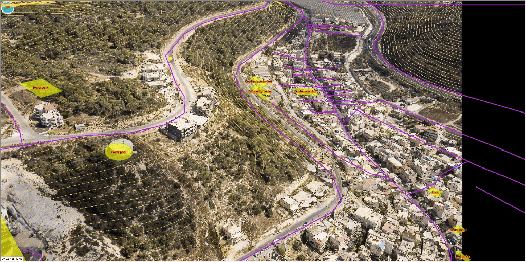
During the tests, the EAGLE surveillance drone conducted aerial photography of a designated control area, capturing images from an altitude of 1000 meters above the Earth’s surface. The resulting imagery boasted an exceptional resolution of less than 5 cm, and georeferencing was achieved through PPK technology. Utilizing this data, a digital surface model and an orthomosaic were generated, exhibiting georeferencing accuracy of less than 5 cm when cross-referenced with control markers.
In conclusion, the SkyPro EAGLE UAS, in synergy with our esteemed partners’ cutting-edge equipment, represents the pinnacle of geodetic aerial photography, ensuring exceptional results and surpassing industry standards.